bikerouter

Tags

Follow from the Fediverse

Follow #bikerouter from Mastodon or any other Fediverse app and its public posts arrive in your timeline. No vutuv account needed.

@bikerouter@tags.vutuv.de

Your address is used once, to send you to your own server's follow dialog. It is never stored here.

Posts with this tag

4 posts

Filters
bikerouter.de @bikerouter en.osm.town

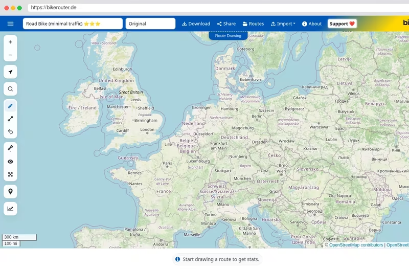
If someone told me, “Fit as many features from the next release as you can into one screenshot,” it might look something like this.

Bikerouter
A bikerouter.de route-planning webpage displays a map of northern and central Europe, with a multicolored cycling route running from eastern Germany through Hamburg and Denmark toward northern Germany. Blue waypoint markers labeled A through J, a green start marker, and a red finish marker identify stages and endpoints. A popup near the map offers Start, Day 1, Rename stage, Stage color, and Delete waypoint.

The right-hand Route overview panel lists Day 1 and Day 2 with distances, elevation gains, and travel times, including Day 1: 160,87 km, 1869 m, 9:57 h, and Day 2: 163,09 km, 901 m, 8:40 h. Navigation controls and mapping tools line the top and sides.

An elevation profile spans the bottom, showing a total distance of 1.013,4 km, ascent of 4.392 m, and travel time of 52:27 h. Peaks are labeled 495 m, 404 m, and 420 m. The map credits OpenStreetMap contributors.
bikerouter.de @bikerouter en.osm.town

Bikerouter 2026.36 is out!

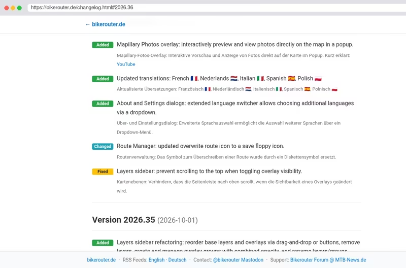
  • Added: Mapillary Photos overlay: interactively preview and view photos directly on the map in a popup.
  • Added: Updated translations: French 🇫🇷, Nederlands 🇳🇱, Italian 🇮🇹, Spanish 🇪🇸, Polish 🇵🇱
  • Added: About and Settings dialogs: extended language switcher allows choosing additional languages via a dropdown.
    … and more updates.

Full changelog: bikerouter.de/changelog.html#2026.36

Bikerouter
Marcus Jaschen @mjaschen mastodon.social

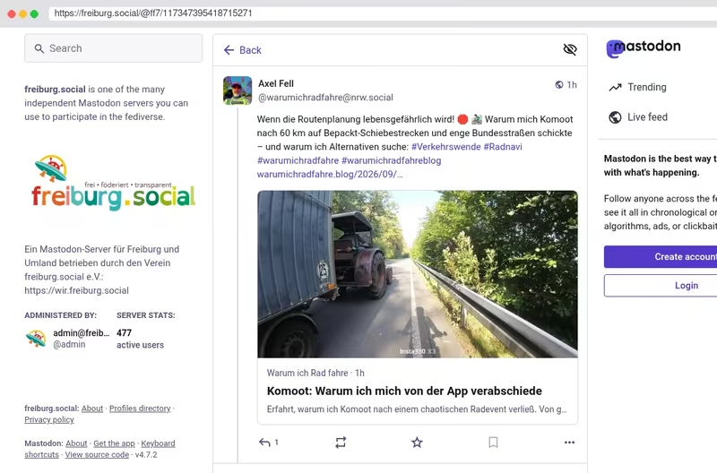
RE: freiburg.social/@ff7/…

Mit kurzem “Studium” der Statistiken bekommt man schnell eine Idee von der Route - auch wenn man die Gegen überhaupt nicht kannt.

Das ist einer der wichtigsten Tipps überhaupt: Schaut euch eine geplante Route vorher in Ruhe an, probiert verschiedene Routingsprofile aus, schaut ins Höhenprofil, macht euch mit der Gegend und den Wegen vertraut usw. Arbeitet mit den vielen Analysewerkzeugen von Bikerouter.

Vertraut nicht blind dem Computer (das gilt für alle Fahrrad-Routenplaner).

Bikerouter
ff7 @ff7@freiburg.social @warumichradfahre@nrw.social hast du mal versucht, was dir #bikerouter (https://bikerouter.de) mit dem einen oder anderen Profil für eine Strecke vorschlägt?
ff7 @ff7 freiburg.social

@warumichradfahre@nrw.social hast du mal versucht, was dir #bikerouter (bikerouter.de) mit dem einen oder anderen Profil für eine Strecke vorschlägt?

Meine ersten Favoriten sind stets:

  • Rennrad (sehr wenig Verkehr)
  • Gravel “quaelnix”
  • Trekking-FCR-dry (FCR = follow cycles routes)
  • Trekking-ICR-dry (ignore cycle routes
  • FFMbyBicycle Long Distance

Mit kurzem “Studium” der Statistiken bekommt man schnell eine Idee von der Route - auch wenn man die Gegen überhaupt nicht kannt. Und du kannst auf Wunsch an jeden gesetzten Zwischenpunkt das Profil ändern.

Meine Routen auf dem Navi sind am Ende immer ein Bikerouter-Export.
routenplaner fahrradroutenplaner

Keyboard shortcuts

Navigation

Home g h
Feed g f
Messages g m
Notifications g n
Your profile g p
Search /

Actions

Write a new post n
Send the post or message you are writing ⌘/Ctrl ↵
Next post in the feed j
Previous post in the feed k

General

Show this help ?
Close menus and dialogs Esc

The single-key shortcuts pause while you type, and are off on phones and tablets.